Sage Braun · 5 October 2026
Excavated Treasures Fuel Debates on Belino's Urban Planning and Heritage Protection
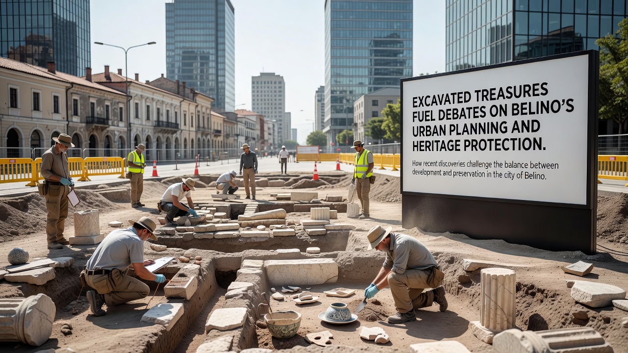
Construction projects across Belino have uncovered layers of ancient artifacts that now shape ongoing discussions about how the town balances new development with the preservation of its historical record, and these findings have prompted local authorities to reassess expansion plans that were already underway in several neighborhoods. Workers first struck significant deposits in late 2025 while preparing foundations for residential complexes, yet the scale of the discoveries became clearer by October 2026 when teams documented Roman-era mosaics alongside medieval pottery shards that span multiple centuries of continuous settlement in the region.
Scale of the Finds and Immediate Responses
Archaeologists catalogued thousands of items including coins, tools, and structural remains that researchers have dated between the first and fifteenth centuries, and these materials now sit in temporary storage facilities while specialists determine their broader significance for understanding trade routes that once connected the Adriatic coast to inland settlements. Municipal planners responded by halting work on three active sites, which forced developers to submit revised timelines that incorporate mandatory survey periods before any further ground disturbance occurs. Data from the regional cultural heritage office shows similar pauses have lengthened project schedules by an average of fourteen months in comparable Italian towns where comparable artifacts appeared during routine building activity.
Urban Planning Adjustments Under Review
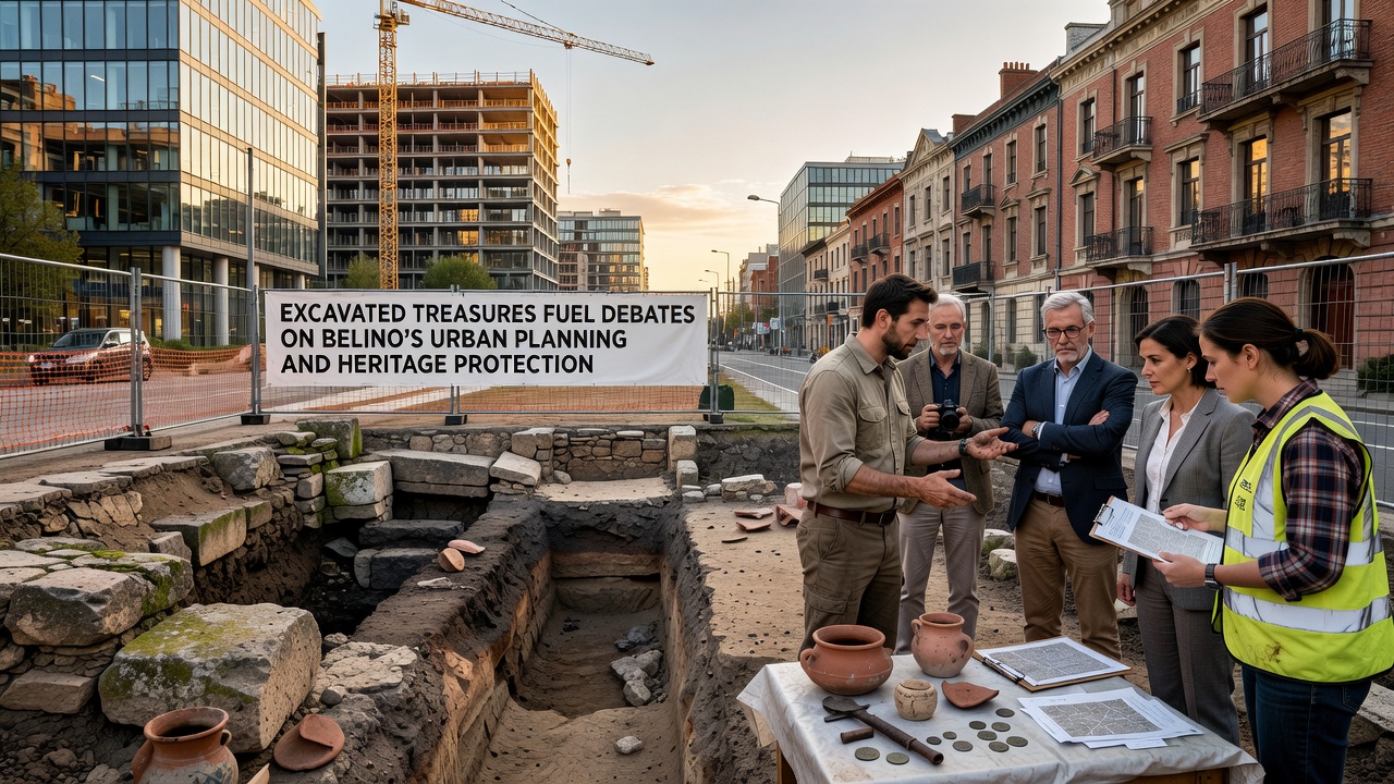
Belino officials have convened a series of public sessions to examine whether current zoning maps adequately account for subsurface heritage zones, and maps produced by the provincial planning department now overlay known archaeological corridors onto proposed infrastructure corridors that include road widening and utility upgrades scheduled for 2027. One proposal under consideration would designate buffer areas around high-density find locations where new construction must incorporate elevated foundations or rerouted utility lines, measures that mirror approaches already tested in other Italian municipalities facing parallel constraints. Experts from the Italian Ministry of Culture have supplied technical guidelines that outline minimum excavation depths and documentation standards required before permits advance, and these documents emphasize systematic recording rather than outright prohibition of development.
Heritage Protection Frameworks in Action
Italy's national heritage code already requires pre-construction assessments in areas flagged by previous surveys, yet the recent Belino discoveries have highlighted gaps in enforcement at the municipal level where smaller projects sometimes bypass full review. Observers note that coordination between the local superintendency and private contractors has improved since October 2026, when joint teams began weekly site visits that combine geophysical scanning with targeted test trenches. Studies conducted by researchers at the University of Padua indicate that integrated planning reduces accidental damage to cultural layers by up to sixty percent compared with standard permitting sequences, and those findings have circulated among regional administrators evaluating updates to Belino's master plan.
Stakeholder Perspectives and Data Trends
Property owners whose projects intersect protected zones have submitted formal requests for compensation mechanisms that would offset delays, and the regional council has begun reviewing funding models used in Tuscany where similar tensions arose during the 2010s. Figures released by the Italian National Institute of Statistics reveal that heritage-related construction delays affect roughly eight percent of building permits issued annually in central Italy, yet the economic impact varies widely depending on project scale and available mitigation options. Community groups have organized informational sessions that present stratigraphic profiles and artifact inventories to residents, allowing participants to trace how specific neighborhoods overlay earlier settlement patterns documented in the new finds.
Looking Ahead to Integrated Solutions
Planners continue to test digital modeling tools that combine LiDAR data with historical maps in order to predict additional sensitive areas before shovels enter the ground, and pilot runs completed in 2026 have flagged several blocks previously considered low-risk. These efforts align with broader European initiatives that promote non-invasive survey methods as standard practice, reducing both costs and irreversible losses when development proceeds. The process underway in Belino therefore illustrates how incremental adjustments to permitting procedures can accommodate both growth targets and the protection of material evidence from earlier eras without requiring complete halts to expansion.
Conclusion
Belino's experience with recent excavations demonstrates how archaeological finds can directly influence municipal decision-making processes, and the measures adopted so far reflect established Italian regulatory pathways that prioritize documentation alongside continued urban development. As additional analysis proceeds through 2027, the town will likely refine its approach based on the accumulating dataset, which in turn may serve as reference material for other communities facing comparable intersections of heritage and growth.